Imray M14 Barcelona to Bouches du Rhône
| Námořní mapy | Středozemní moře | Španělsko, Francie
mapa Středozemní moře
Zařazení:
Námořní mapy |
Středozemní moře |
Španělsko, Francie
Značka: Imray
Dostupnost: dotaz na dostupnost
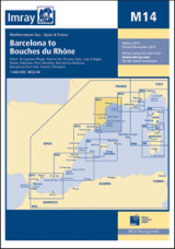
Imray M14 Barcelona to Bouches du Rhône
mapa Středozemní moře
Scale: 1:440,000 WGS 84
Imray
Plans included:
Barcelona Harbour (1:65,000)
Barcelona Port Vell (1:15,000)
Palamós (1:15,000)
Puerto de L'Escala (1:10,000)
Roses (1:30,000)
Port Vendres (1:17,500)
St-Cyprien-Plage (1:15,000)
Cap d'Agde (1:20,000)
Sète (1:22,500)
Puerto Olímpico (1:15,000)
For this 2013 edition, the latest known depths and harbour developments are shown at Barcelona. Harbour developments are also shown at Puerto de l'Escala, and the chart has been generally updated throughout.
Edition date 2013
Last printed Nov 2013
Publication details Sheet size 640 × 900mm. Waterproof. Folded in plastic wallet or flat.
Kategorie
Partneři
![]()