Mapy vodních cest
Zvolte podkategorii:
Vybíráme z nabídky
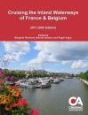 Cruising the Inland Waterways of France & Belgium
This informative guide to the waterways of France & Belgium is published by the Cruising Association and regularly updated by its members.
936,- Kč
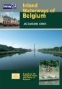 Imray Inland Waterways of Belgium
There has not been a guide in English to the Inland Waterways of Belgium since E E Benest's handbook went out of print in the early 1960's. Jacquelne Jones' new guide provides detailed coverage for anyone interested in this under-rated waterway network.
1 149,- Kč
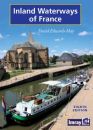 Imray Inland Waterways of France
The standard guide to the French canals and navigable rivers includes maps and distance tables for each waterway, giving the user a general view of the geography of each waterway as well as a detailed cockpit reference.
1 249,- Kč
 Imray Inland Waterways of Great Britain
The standard reference to the waterways of England, Wales and Scotland has been completely revised.
1 249,- Kč
 Imray Inland Waterways of Ireland
Of all the countries in Europe, Ireland particularly lends itself to exploration by water. It is an island of manageable size with deep-sea loughs cutting far inland, spectacular inland loughs surrounded by mountains, and majestic rivers connected by man-made canals.
1 149,- Kč
 Imray Inland Waterways of the Netherlands
With 6,000km of navigable waterways, the Netherlands offers one of the most extensive yet compact cruising grounds in Europe. This book is a user's guide to the whole network, covering all the mast-up routes and excluding only those waterways which offer less than 3.5m bridge height.
1 200,- Kč
 Imray River Thames Book
Including the River Wey, Basingstoke Canal and Kennet and Avon Canal
686,- Kč
 Fearsome Passages
Fearsome Passages is an anthology of his articles previously published in the yachting press. Each covers a channel or harbour entrance that is notorious for having difficult tide and current conditions.
750,- Kč
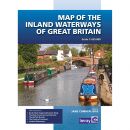 Imray Map of the Inland Waterways of Great Britain
Imray Map of the Inland Waterways of Great Britain
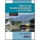 Imray Map of the Inland Waterways of Scotland
The second edition of Imray's Map of the Inland Waterways of Scotland has been updated.
605,- Kč
Kategorie
Partneři
![]()