Imray Inland Waterways of France
| Mapy vodních cest | Francie a Belgie
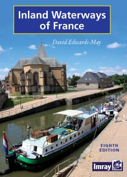
The standard guide to the French canals and navigable rivers includes maps and distance tables for each waterway, giving the user a general view of the geography of each waterway as well as a detailed cockpit reference.
Zařazení:
Mapy vodních cest |
Francie a Belgie
Značka: Imray
Dostupnost: dotaz na dostupnost
Imray Inland Waterways of France
The introduction forms a comprehensive general guide to the French waterways, including distances and overall dimensions, formalities, navigation regulations and up-to-date list of hire operators, making inland waterways of France not just an unrivalled reference for planning but also an outstanding cruising guide.
The new edition is now in full colour with redrawn maps and many new photographs.
| rozměry | 210 x 297mm |
Kategorie
Partneři
![]()