Imray Map of the Inland Waterways of Great Britain
| Mapy vodních cest | Anglie a Irsko
Imray Map of the Inland Waterways of Great Britain
Zařazení:
Mapy vodních cest |
Anglie a Irsko
Značka: Imray
Dostupnost: dotaz na dostupnost
Imray Map of the Inland Waterways of Great Britain
Jane Cumberlidge
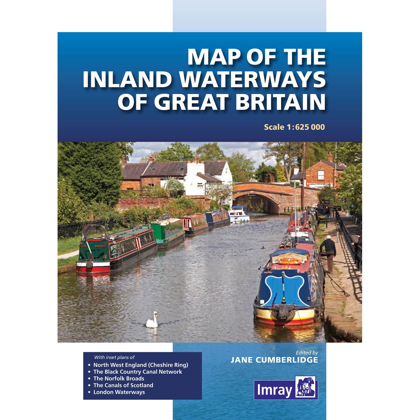
First published over 60 years ago when interest in reviving Britain’s network of navigable and rivers was starting to gather pace, this map provides the best coverage of the system in England, Wales and Scotland. Distances, the number of locks and restricting dimensions are given for each waterway. The simple cartography defines rivers, broad and narrow canals against generalized relief and the major road network.
Edition date 2016
| měřítko | 1: 625,000 |
Kategorie
Partneři
![]()